GOES-R
NOAA’s geostationary weather satellites, watching the Americas every few minutes.
- Type
- Satellite
- Status
- Operating
- First flight
- November 19, 2016
- Size
- 6.1 m (20 ft)
- Built by
- Lockheed Martin, NASA, NOAA
- 4
- satellites launched, 2016–2024
- 2
- in service: GOES-19 as GOES East, GOES-18 as GOES West
- 2030s
- planned operations of the series
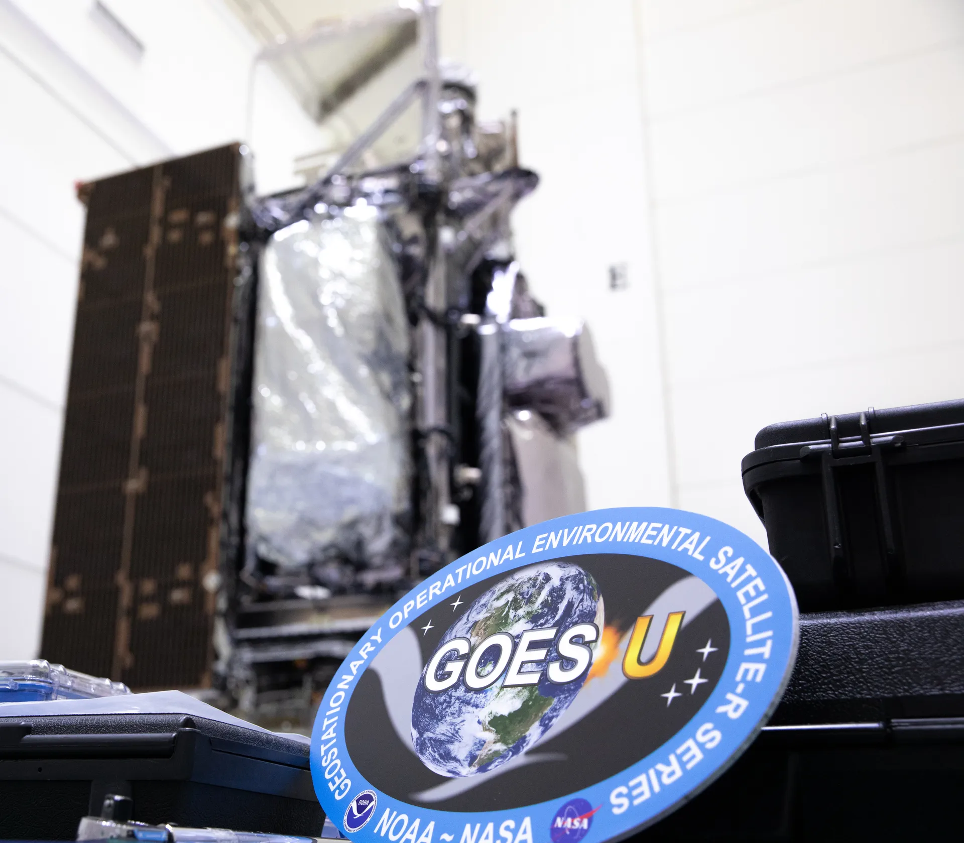
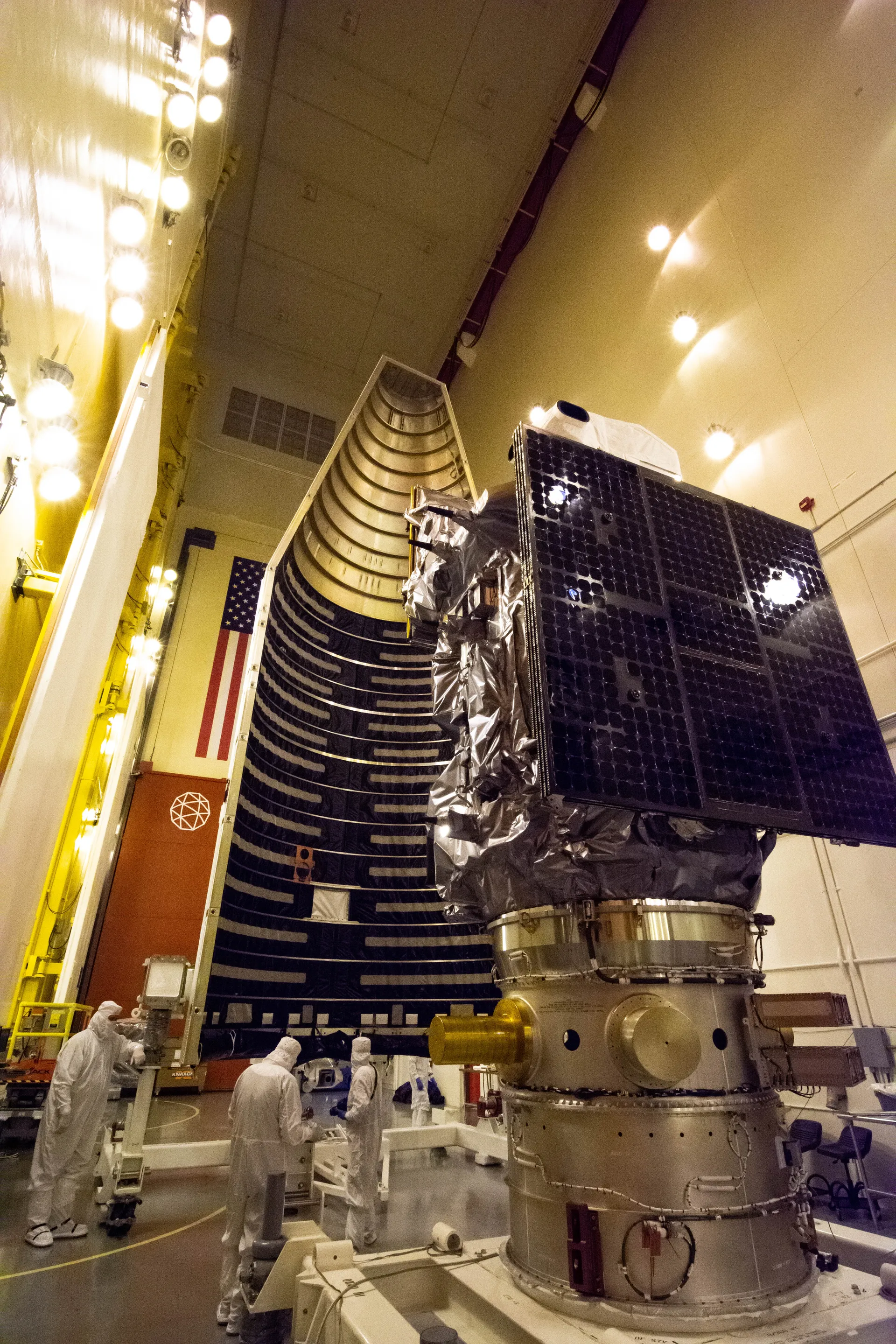
The Geostationary Operational Environmental Satellites–R Series (GOES-R) is NOAA’s current generation of weather satellites in geostationary orbit. The program is a collaboration between NOAA and NASA: NASA builds and launches the satellites for NOAA, which operates them and distributes their data to users worldwide.
GOES satellites orbit 22,236 miles (35,786 kilometers) above Earth’s equator at the speed of Earth’s rotation, so each stays over the same region. Four GOES-R Series satellites launched between 2016 and 2024. GOES-19, launched as GOES-U in 2024, operates as GOES East and GOES-18 as GOES West; together they watch more than half the globe, from the west coast of Africa to New Zealand. GOES-16 and GOES-17 serve as on-orbit backups.
The series’ imager scans Earth five times faster than earlier GOES, with four times the resolution and three times the number of channels, and can image severe storms as often as every 30 seconds. The satellites also carry the first operational lightning mapper flown in geostationary orbit and instruments that monitor the Sun and space weather.