U.S. Geological Survey
Operates the Landsat satellites and keeps their archive, free to everyone since 2008.
- Founded
- 1879
- Headquarters
- Reston, Virginia
- Machines in the atlas
- 1
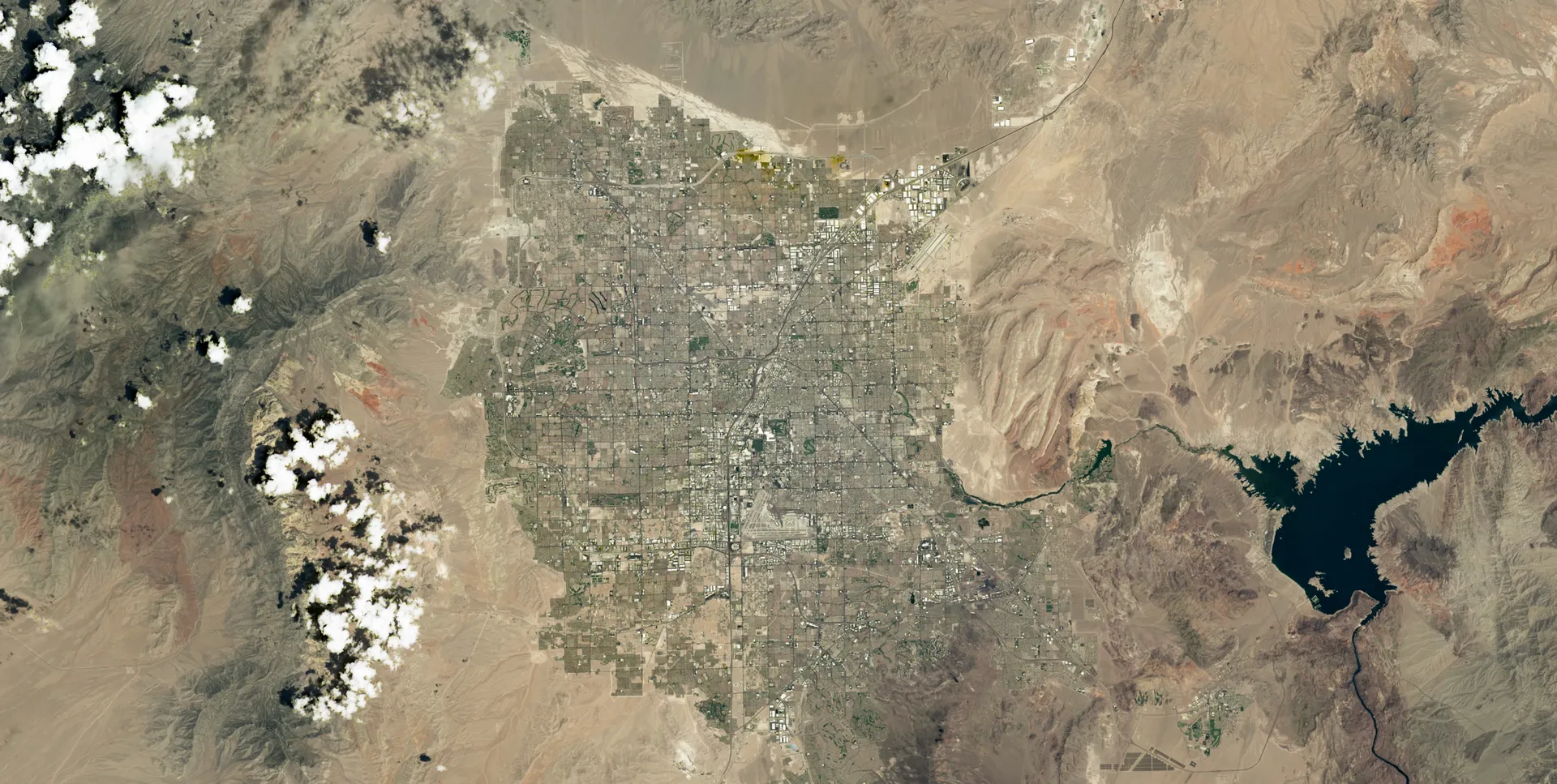
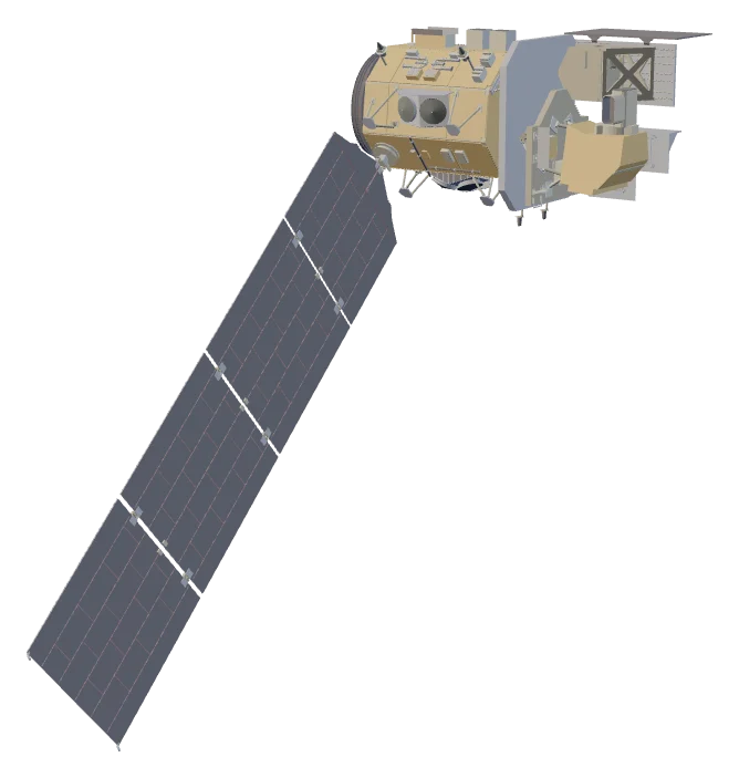
NASA builds and launches Landsat satellites; the USGS flies them from its operations center and keeps the archive at its Earth Resources Observation and Science (EROS) Center in Sioux Falls, South Dakota, one of the largest civilian archives of land images in the world. Since 2008 Landsat products in the archive have been free to download. Landsat 10, the next satellite, is expected to launch in 2031.
Its machines
Stories that involve USGS

Sources
- Who We Are U.S. Geological Survey
- Landsat Data Access U.S. Geological Survey
- Landsat Satellite and Ground-Systems Operations U.S. Geological Survey
- Landsat 9 U.S. Geological Survey
- Landsat 10 U.S. Geological Survey